Little Bighorn
Battle of the Little Bighorn · June 25-26, 1876 · Big Horn County, Montana

11 contours at 10 m, traced from USGS 3DEP 10 m elevation data. Every 5th line is drawn heavier.
What happened
Custer's 7th Cavalry attacked a very large Lakota, Northern Cheyenne and Arapaho encampment on the Little Bighorn River. He split his command, lost contact with both other wings, and was killed with every man of the five companies under his immediate control.
Why the ground mattered
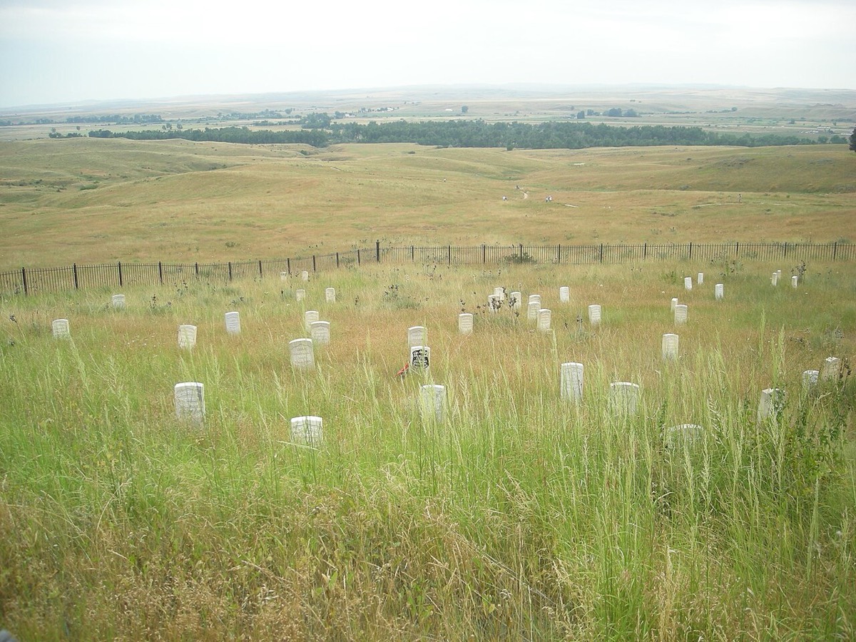
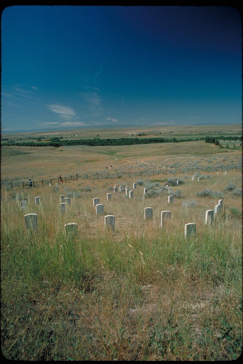
The valley floor is open, but the bluffs on the east bank are cut by deep coulees that hide anything moving in them. Custer could not see the size of the village from where he committed, and once his battalions dropped into separate drainages they could not see or support each other either. The same ground worked the other way for the warriors, who used the coulees to close on isolated companies unseen. Reno's survivors lived because they got up onto a defensible bluff and stayed there.
Images


.jpg)