San Jacinto
Battle of San Jacinto · April 21, 1836 · Harris County, Texas
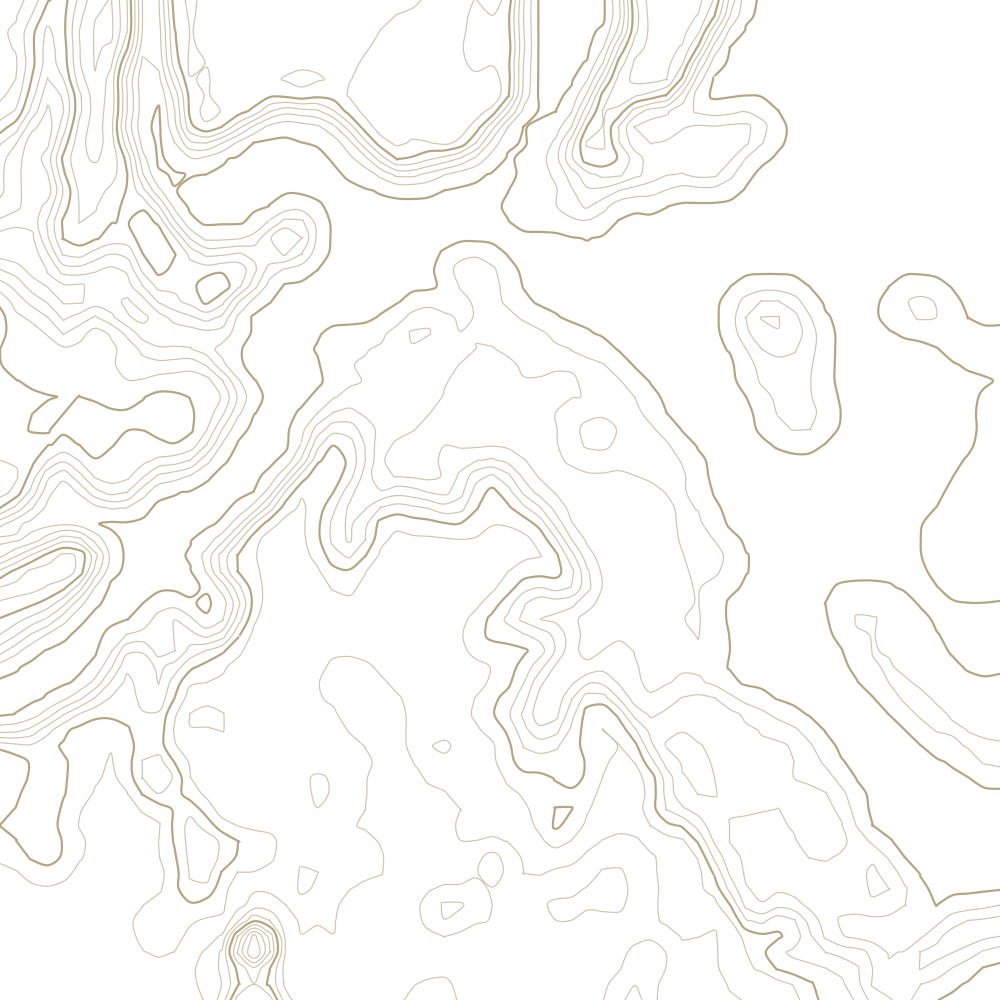
15 contours at 1 m, traced from USGS 3DEP 10 m elevation data. Every 5th line is drawn heavier.
What happened
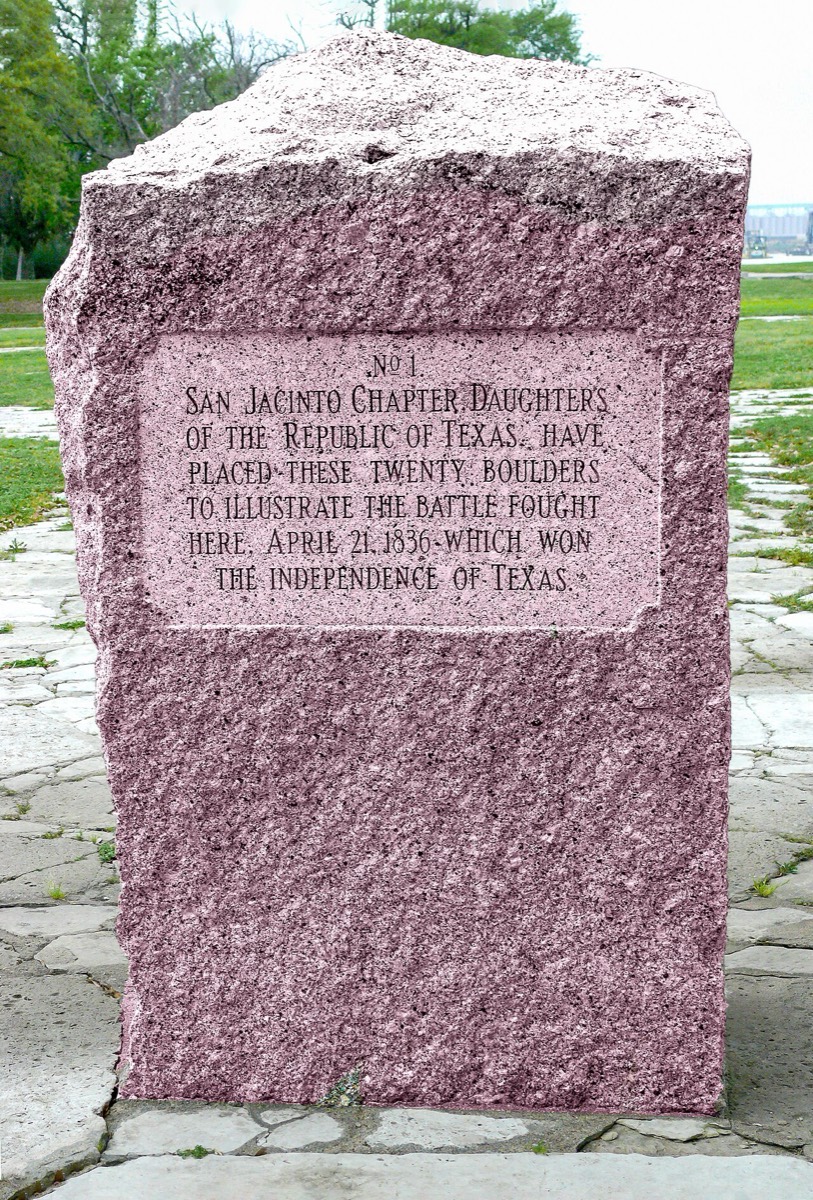
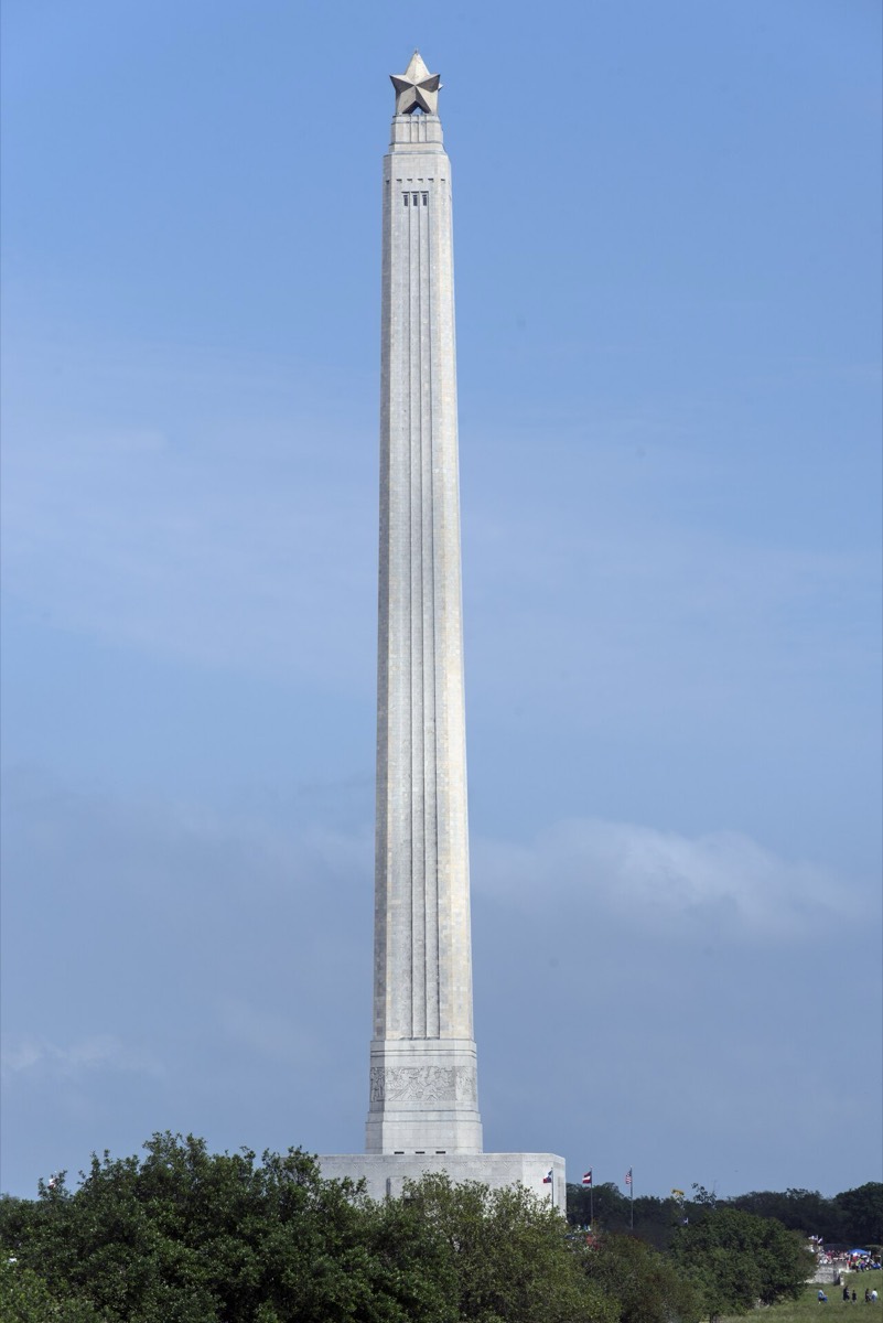
Eighteen minutes of fighting ended the Texas Revolution. Houston's army attacked Santa Anna's camp during the afternoon rest, overran it almost immediately, and captured Santa Anna the next day - which bought Texan independence.
Why the ground mattered
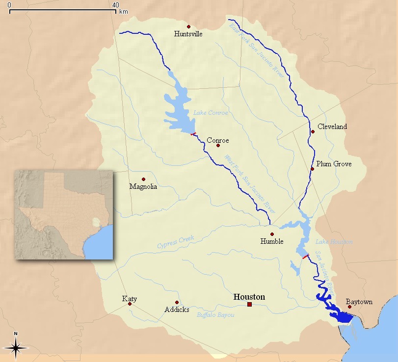
This is the flattest ground in this collection and it still decided the battle, because at these elevations a few feet is everything. Santa Anna camped with Buffalo Bayou on one side, the San Jacinto River on another and marshy Peggy Lake at his back, in a pocket with no way out - and posted no pickets. A low rise between the two camps hid the Texan advance until it was a few hundred yards off. When the line broke, the men running from it ran into the marsh. Read the contours here as inches, not feet.
Watch
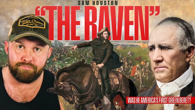
America's OG Green Beret - Sam Houston "The Raven"
Houston's life and the campaign that ended here, including why he spent six weeks retreating before he turned and fought on this ground.
Images