Gettysburg
Battle of Gettysburg · July 1-3, 1863 · Adams County, Pennsylvania
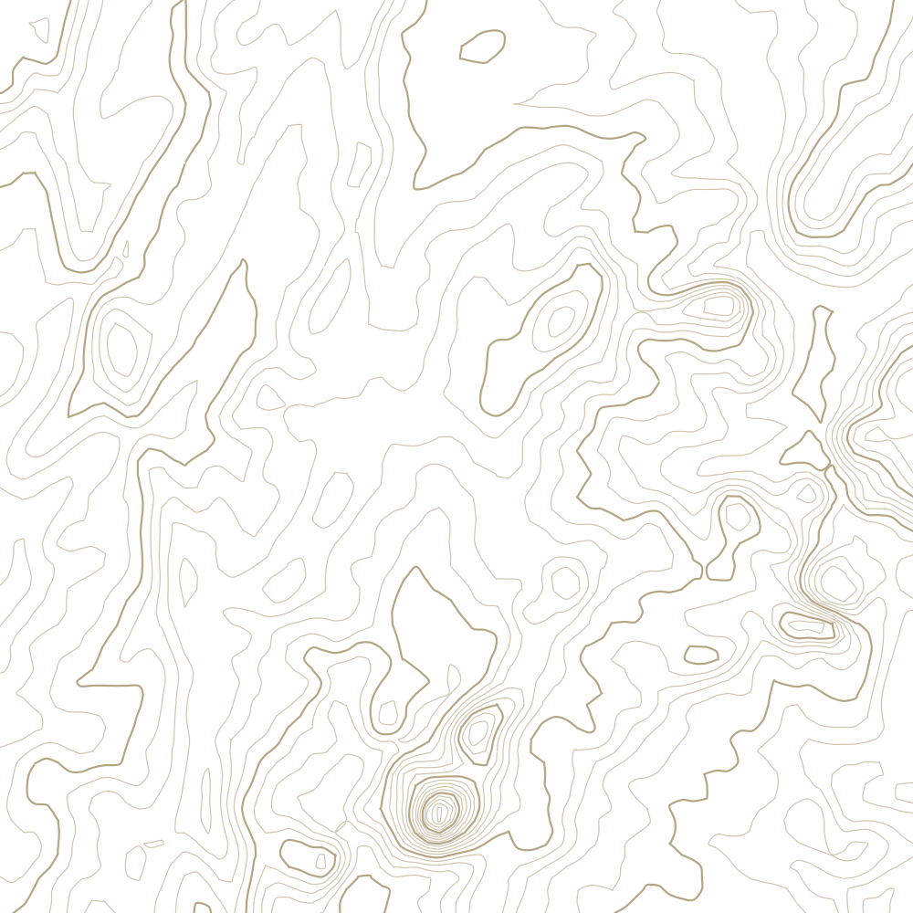
24 contours at 4 m, traced from USGS 3DEP 10 m elevation data. Every 5th line is drawn heavier.
What happened
Three days that cost roughly 50,000 casualties and ended Lee's second invasion of the North. The Union army arrived piecemeal, was driven back through the town on the first day, and then spent two days holding a line that the retreat itself had handed them.
Why the ground mattered
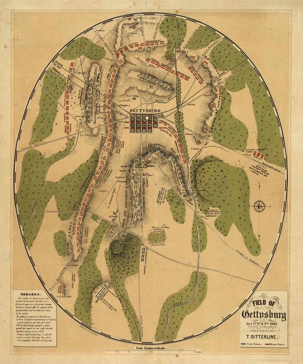
The whole battle is an argument about high ground. Driven out of Gettysburg on 1 July, the Union fell back onto Cemetery Hill and dug in along a low ridge running south to two hills, Little and Big Round Top - a line shaped like a fishhook, barely four miles end to end. Interior lines meant Meade could shift troops across the shank faster than Lee could march around the outside of it. Every serious Confederate attempt on 2 and 3 July was an attack uphill against that curve.
Watch
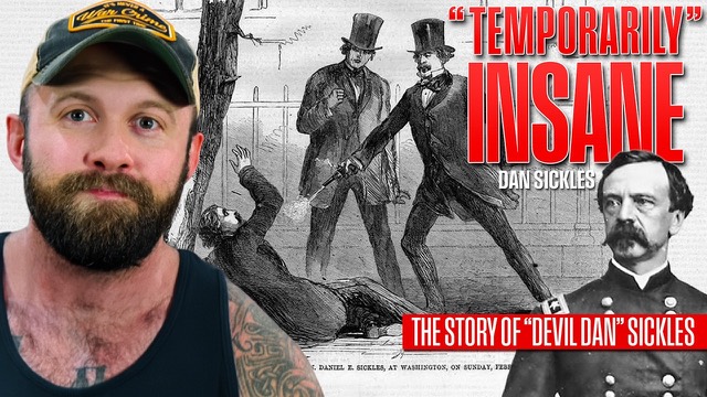
The "Temporarily" Insane Civil War General - Dan Sickles
Sickles held the left of that fishhook with III Corps and did not like the low ground he was given. On 2 July he marched his corps forward to slightly higher ground at the Peach Orchard without orders, opening a salient the Confederates promptly hit from two sides. His corps was wrecked and a cannonball took his leg. It is the clearest case on the field of a commander reading terrain and getting it catastrophically wrong.
Images