Vicksburg
Siege of Vicksburg · May 18 - July 4, 1863 · Warren County, Mississippi
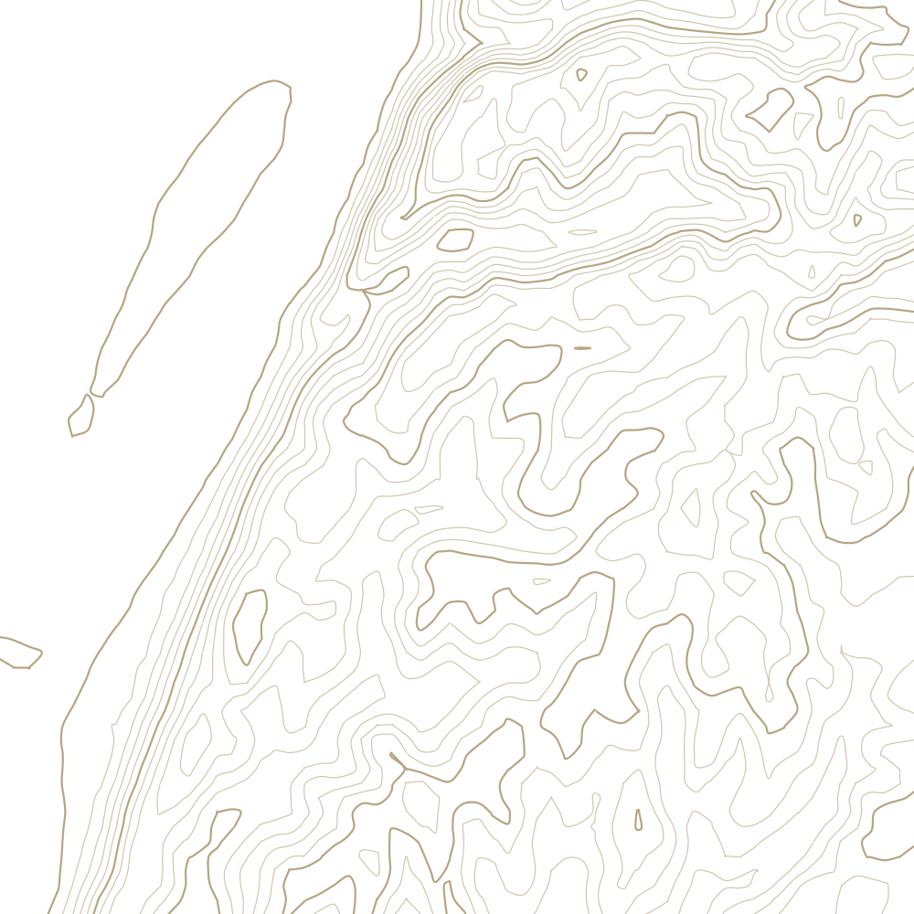
17 contours at 5 m, traced from USGS 3DEP 10 m elevation data. Every 5th line is drawn heavier.
What happened
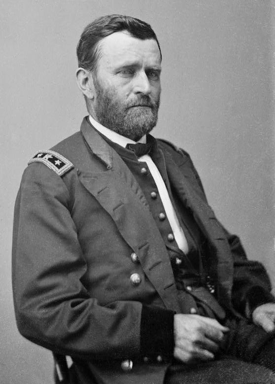
Grant's campaign to take the last Confederate strongpoint on the Mississippi. After two failed assaults he settled into a siege; the garrison surrendered on 4 July 1863, splitting the Confederacy in two and giving the Union the whole river.
Why the ground mattered
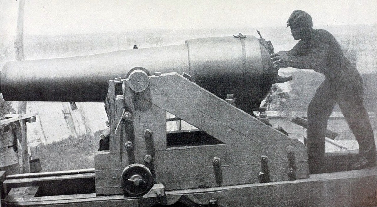
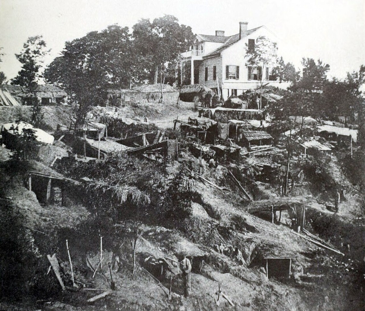
Vicksburg sits on loess bluffs standing two hundred feet over the Mississippi, which is why it was called the Gibraltar of the West - guns up there commanded the river, and no fleet could simply run past. The same soil made the land approach worse. Loess erodes into steep-sided ravines and holds a vertical face, so the ground east of town was a maze of gullies and knife ridges that broke up any formed assault and let the defenders dig deep, stable works. Grant stopped attacking and started digging because the landscape gave him no other answer.
Images